GR20 Corsica

Distance: 180 km
Duration: 15 - 16 days
Country:
France flagFrance
The GR20 trek across Corsica is a rugged journey that takes you through diverse landscapes, from windswept highlands to dense forests. Known as one of Europe's toughest treks, it offers a unique blend of natural beauty and physical challenge, making each step a rewarding experience.
Prepare for an adventure treking GR20 Corsica. This overview provides essential details on routes, difficulty, costs, and the best times to go, helping you plan a successful trek.

Distances

  • 15 - 16 days, 180 km, +10,000 m, 2,205 m high point
  • daily: 6 - 8 hours, 10 - 15 km, +600 - 800 m gain

Route

  • through hike
  • starting in Calenzana
  • ending in Conca

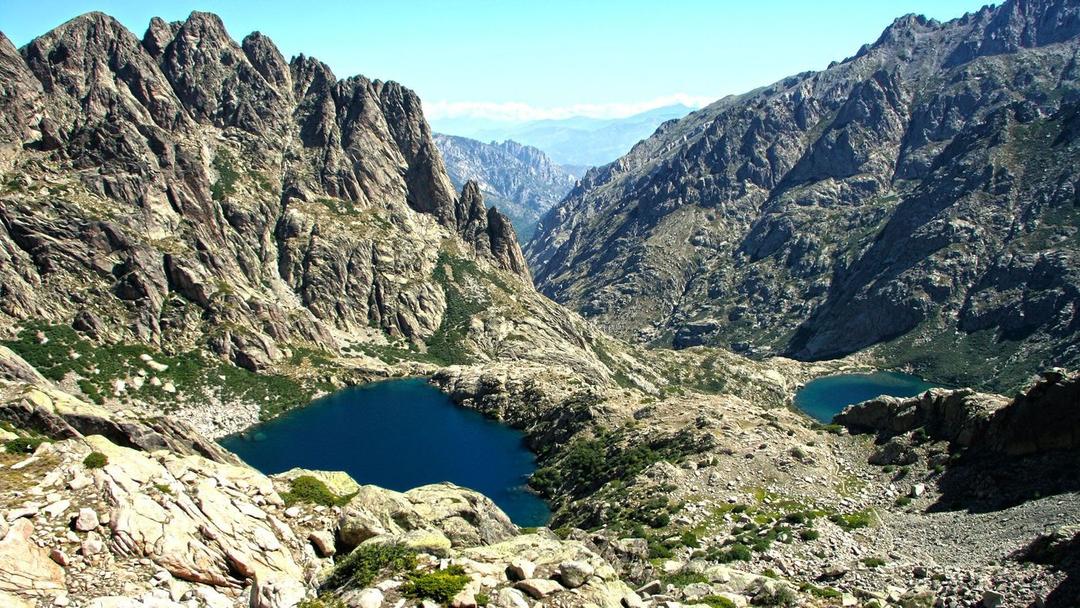
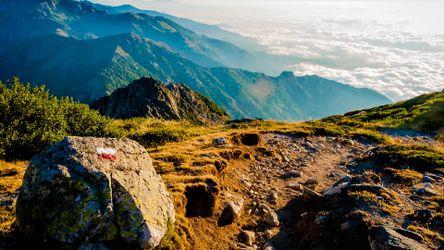
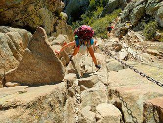
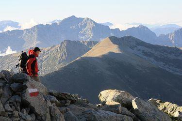
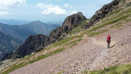
These are pictures taken while trekking GR20 Corsica. They're shown here to give you an idea of what the route is like. You're welcome to share your own pictures of hiking GR20 Corsica, to help the community of hikers. Picture here are either uploaded by members (there own, or creative commons pictures), or guides.

Trekking the challenging GR20 trail across the beautiful island of Corsica.
Day 1

Calenzana to Ortu di u Piobbu (1,520 m)

Distance: 12 kmTime trekking / climbing: 6 hoursElevation change: +1,270 m
Begin your adventure at Calenzana and hike to Ortu di u Piobbu through rugged terrain and maquis shrubland.
Day 2

Ortu di u Piobbu to Carrozzu (1,270 m)

Distance: 10 kmTime trekking / climbing: 7 hoursElevation change: -250 m
Continue your ascent, passing by the Carrozzu refuge and enjoying panoramic views.
Day 3

Carrozzu to Ascu Stagnu (1,422 m)

Distance: 7 kmTime trekking / climbing: 6 hoursElevation change: +152 m
Trek through rocky paths and lush landscapes, reaching the Ascu Stagnu plateau.
Day 4

Ascu Stagnu to Tighjettu (1,686 m)

Distance: 8 kmTime trekking / climbing: 6 hoursElevation change: +264 m
Descend through pine forests and continue to the picturesque Tighjettu area.
Day 5

Tighjettu to Ciottulu di I Mori (1,991 m)

Distance: 11 kmTime trekking / climbing: 7 hoursElevation change: +305 m
Hike along the Verghio forest slopes and experience the wild beauty of the landscape.
Day 6

Ciottulu di I Mori to Castel de Vergio (1,400 m)

Distance: 13 kmTime trekking / climbing: 9 hoursElevation change: -591 m
Pass by glacial lakes and traverse challenging terrain, arriving at Castel de Vergio.
Day 7

Castel de Vergio to Manganu (1,600 m)

Distance: 10 kmTime trekking / climbing: 6 hoursElevation change: -200 m
Descend toward the forested region of Vizzavona, passing through scenic landscapes.
Day 8

Manganu to Petra Piana (1,842 m)

Distance: 8 kmTime trekking / climbing: 5 hoursElevation change: +242 m
Walk through lush forests, climbing gradually to the stunning Petra Piana refuge.
Day 9

Petra Piana to L'Onda (1,430 m)

Distance: 12 kmTime trekking / climbing: 7 hoursElevation change: -412 m
Continue through forested trails, descending to the L'Onda refuge.
Day 10

L'Onda to Vizzavona (920 m)

Distance: 14 kmTime trekking / climbing: 8 hoursElevation change: -510 m
Descend further, passing through charming villages and reaching Vizzavona.
Day 11

Vizzavona to E Capannelle (1,590 m)

Distance: 11 kmTime trekking / climbing: 7 hoursElevation change: +670 m
Hike through pine and beech forests, ascending to the E Capannelle refuge.
Day 12

E Capannelle to Prati (1,820 m)

Distance: 10 kmTime trekking / climbing: 6 hoursElevation change: +230 m
Enjoy pastoral landscapes as you cross alpine meadows and rolling hills.
Day 13

Prati to Conca (252 m)

Distance: 15 kmTime trekking / climbing: 8 hoursElevation change: -1,568 m
Climb to Bocca di l'Iscamunincu, then descend to the coastal town of Conca, completing the trek.

The trek is 6 / 10, based on the below factors:

Terrain & route condition 7 / 10

Treks that involve rugged or uneven terrain, such as rocky paths, scree slopes, or dense forests, may require more technical skills or physical effort.

Altitude / Elevation 5 / 10

Considering the maximum altitude reached during the trek. Higher altitudes can present challenges like thin air, low oxygen levels, and potential altitude sickness.

Distance 8 / 10

The total distance of the trek. Longer treks generally require more endurance and physical fitness.

Elevation gain 7 / 10

Total elevation gain throughout the trek. Treks with significant altitude changes can be more challenging, especially if they involve steep ascents or descents.

Technical difficulty 5 / 10

Some treks may require basic technical skills like river crossings, using ropes, or scrambling over rocks.

Access to facilities / Remoteness 6 / 10

Based on the availability of support facilities such as accommodation, food, water sources, and emergency services. Treks with limited infrastructure or remote areas can be more challenging due to self-sufficiency requirements. The less support facilities there are the harder the trek.

Climate & weather 6 / 10

How tough are the prevailing weather and climate conditions during the trek. Harsh weather, extreme temperatures, or unpredictable conditions can add to the difficulty.