Treking Arctic Circle Trail
When to go
- July and August
Accommodation
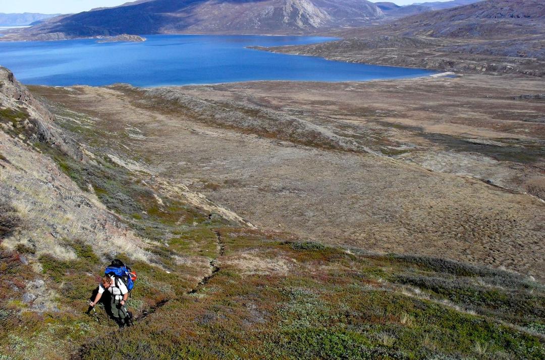
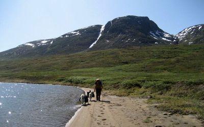
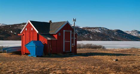
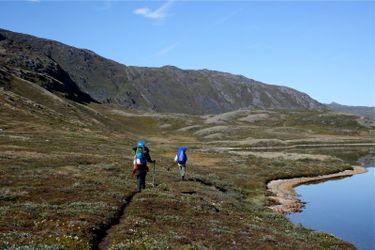
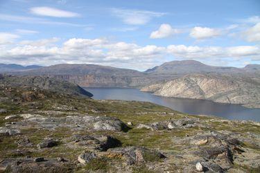
huts, campingThese are pictures taken while trekking Arctic Circle Trail. They're shown here to give you an idea of what the route is like. You're welcome to share your own pictures of hiking Arctic Circle Trail, to help the community of hikers. Picture here are either uploaded by members (their own, or creative commons pictures), or guides.
Kangerlussuaq to Hundeso (250 m)
Hundeso to Katiffik (300 m)
Katiffik to The Canoe Center (100 m)
The Canoe Center to Ikkattooq (200 m)
Ikkattooq to Eqalugaarniarfik (150 m)
Eqalugaarniarfik to Innajuattoq (270 m)
Innajuattoq to Kangerluarsuk Tulleo (100 m)
Kangerluarsuk Tulleo to Sisimiut (5 m)
The trek is 4 / 10, based on the below factors:
Treks that involve rugged or uneven terrain, such as rocky paths, scree slopes, or dense forests, may require more technical skills or physical effort.
Considering the maximum altitude reached during the trek. Higher altitudes can present challenges like thin air, low oxygen levels, and potential altitude sickness.
The total distance of the trek. Longer treks generally require more endurance and physical fitness.
Total elevation gain throughout the trek. Treks with significant altitude changes can be more challenging, especially if they involve steep ascents or descents.
Some treks may require basic technical skills like river crossings, using ropes, or scrambling over rocks.
Based on the availability of support facilities such as accommodation, food, water sources, and emergency services. Treks with limited infrastructure or remote areas can be more challenging due to self-sufficiency requirements. The less support facilities there are the harder the trek.
How tough are the prevailing weather and climate conditions during the trek. Harsh weather, extreme temperatures, or unpredictable conditions can add to the difficulty.
Arctic Circle Trail Accomodation
What is the accommodation like treking Arctic Circle Trail
Arctic Circle Trail access - getting there
How to get to Arctic Circle Trail
- Flying into Kangerlussuaq: Most trekkers start the Arctic Circle Trail from Kangerlussuaq, which has an international airport. Flights from Copenhagen are the most common way to reach here.
- Bus to the Trailhead: From Kangerlussuaq, you can take a local bus to the trailhead, which is about 13 km away.
- Hiking to the Trailhead: Alternatively, some choose to hike to the trailhead from Kangerlussuaq, adding an extra day to the trek.
- Ending in Sisimiut: The trail ends in Sisimiut, which has a domestic airport with flights to Nuuk and Ilulissat.
- Ferry Services: During the summer, there are also ferry services from Sisimiut to other towns, but these are less frequent.
- Helicopter Services: In some cases, trekkers use helicopter services to get back to Kangerlussuaq, but this is a more expensive option.
Arctic Circle Trail Links
useful websites, Groups and communities
Groups / links with more info on the Arctic Circle Trail route.
