Treking Tour de Monte Rosa
Also known as: TMR / Monte Rosa Tour
Distances
- 9 - 10 days, 163 km, +11,000 m, 3,316 m high point
- daily: 6 - 8 hours, 16 - 20 km, +1,000 - 1,400 m gain
Route
- circuit
- Starting and ending in Zermatt, Switzerland
When to go
- June to September
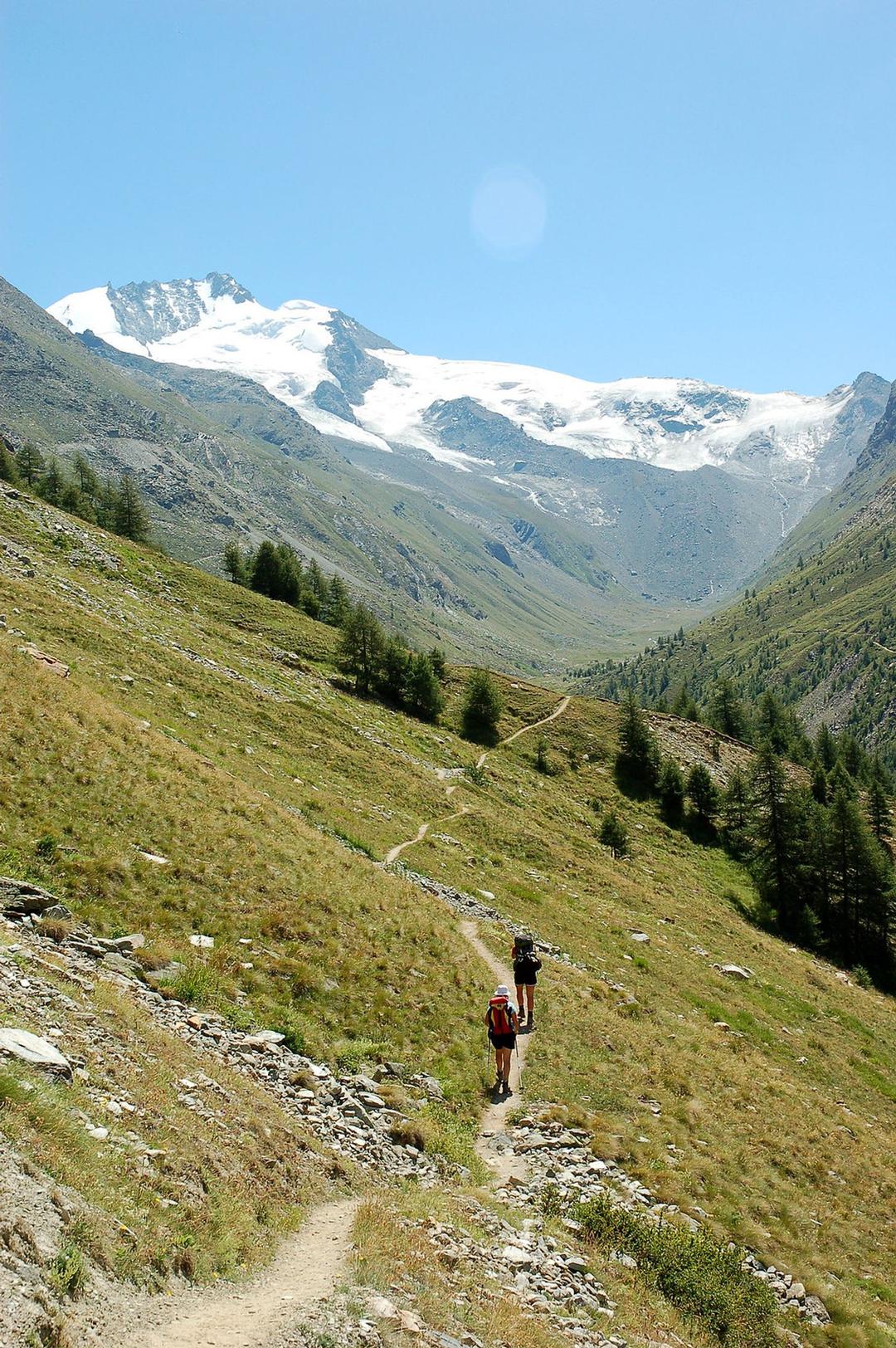
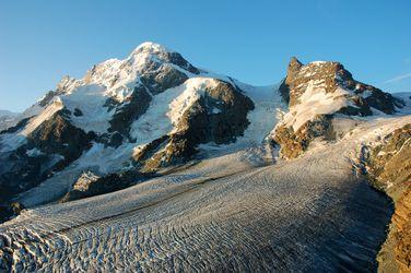
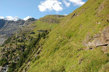
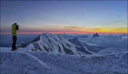
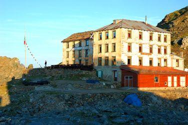
These are pictures taken while trekking Tour de Monte Rosa. They're shown here to give you an idea of what the route is like. You're welcome to share your own pictures of hiking Tour de Monte Rosa, to help the community of hikers. Picture here are either uploaded by members (their own, or creative commons pictures), or guides.
Zermatt to Randa (1,400 m)
Randa to Grächen (1,619 m)
Grächen to Saas-Fee (1,800 m)
Saas-Fee to Macugnaga (1,327 m)
Macugnaga to Alagna (1,190 m)
Alagna to Gabiet (2,370 m)
Gabiet to Resy (2,050 m)
Resy to Theodul Pass (3,295 m)
Theodul Pass to Zermatt (1,608 m)
Can be done in either direction but consider what time of day you'll reach the glacier (Theodul) - ideally you cross in the morning when the ice is less defrosted. If you're going counter clockwise you can stay at the huts preceding making a morning crossing easy.
Tour de Monte Rosa weather
How is the weather on Tour de Monte Rosa, and when is the best time to go.
The best time to trek Tour de Monte Rosa is in these months:
- Jun
- Jul
- Aug
- Sep
Tour de Monte Rosa access - getting there
How to get to Tour de Monte Rosa
The route can be started in multiple places, typically hikers choose:
- Zermatt (Switzerland)
- Saas Fee (Switzerland)
- Alagna Valsesia (Italy)
All can be reached after flying in to nearby international airports (Geneva or Zurich in Switzerland, or Milan in Italy) and then taking public transport.
Geneva is nearest.
Tour de Monte Rosa Links
useful websites, Groups and communities
Groups / links with more info on the Tour de Monte Rosa route.